
We stopped for a picnic lunch in Twizel, a tiny town that was originally a company town built for the construction of a dam nearby. The plan was to abandon the town once the dam was complete, but the community survived. Being a planned company town, the center is weirdly compact.

Then we headed up a the valley containing Lake Pukaki (created by the dam, I believe), with the Mt. Cook range at its head. You could see Mt. Cook from dozens of kilometres away - from most angles it looked slightly higher than other peaks, when in reality it is much higher than most surrounding mountains. (3754m, just a couple of hundred shorter than Mt. Robson in BC).

Lake Pukaki was a wonderful bright blue and white colour - very opaque and very sky-like. This viewpoint was in the middle of a recently-harvested tree farm; tree farms made up much of the lakeside before getting to the national park. Much of the national park and surrounding area was burned and cleared for grazing ages ago, and grazing sheep prevented the regeneration of native trees and plants for years. Sheep were put out to graze in these areas as recently as the 1990s. Much of the Mt. Cook area is still grassland.


Oh yeah, now THERE is some Canadian Rocky Mountain style glaciers and peaks! Definitely our thing. The Franz Josef and Fox glaciers were nice, and are certainly quite accessible if you want to take a walk on the ice or get relatively close to them with ease. But I just wasn't all that blown away by them. The Mt. Cook area, in contrast, was very impressive, especially in the uncommon sunny weather we had. Though these mountains are NOT trivial to climb.


Chad pretends he does yoga in the approaches to Mt. Cook. Who wouldn't feel Zen in this landscape?

The Hermitage is an iconic hotel built at the end of the road to Mt. Cook. It is the third such hotel in the area, built around the 1940s or 1950s. The original was knocked down by a glacial flood, and I think another version might have burned down. At any rate, it has nice views of Mt. Cook (on the right above), a nice-looking cafe and restaurant, and the heavily-advertised Sir Edmund Hillary mountain centre, a museum about the man.

It also had a piano in the hallway, so I had to play a song while looking at Mt. Cook.
The Sir Edmund Hillary museum was... OK. (Photos weren't allowed.) It talked a bit about his life and exploits, and it was free, but it wasn't all that extensive - it seemed like a teaser put in place to get you to spend dozens of more dollars viewing documentary films and planetarium shows at the theatre. But let's not underestimate the importance of Sir Edmund. First to climb Everest with Tenzig Norquay. Member of the famous pan-antarctic expedition. Friendly family man, proponent of aid to Nepal, etc. etc. The Mt. Cook area was his formative climbing area, primary training ground and family holiday spot.
And how important is he to New Zealand? Well, just take a look at the $5 bill...

Say no more.

If you go to Mt. Cook, have a look at the Hillary museum, but then walk down to the DOC visitor center, which has a FANTASTIC museum detailing the history of the area - the geology, the storied and extensive climbing history, the flora and fauna, the rescue team efforts which continue to the present, etc. etc. It's very new, and has a great telescope-like view of Mt. Cook out one end.


Only a couple of weeks before our visit, there had been a major rock avalanche in the area, which is (in)famous for rock slides and avalanches. This one started at the peak (!) of 3004m Mt. Dixon, and ended up 0.5km wide and 3km long. Wow. Climbers really are taking risks on these peaks.

This is the peak of Mt. Cook, with a big cap of ice created by blowing wind. Quite the daunting summit. I think this photo might date from before the summit collapse - in the early 1990s, the peak of Mt. Cook crumbled off, and it almost lost its status as highest mountain in New Zealand.
Anyway, I found it really interesting to learn about the early climbing attempts, and then how changes in climbing technology made previously "impossible" routes possible. The mountain has been climbed every which way now, but a good 70+ people have died on Mt. Cook alone, and 200+ in the Mt. Cook area.


Hal likes the mountains, even if he can't get very far up them.

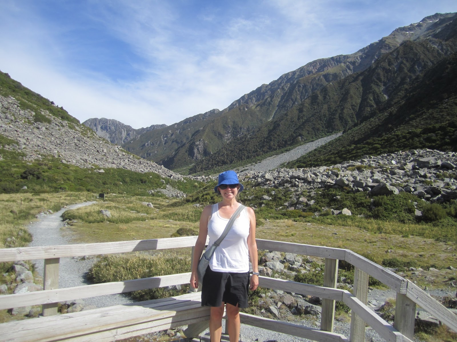
We took a walk to the Kea Viewpoint before dinner, overlooking the terminal moraine of the Hooker Glacier - the glacier which coats the nearest approach to Mt. Cook.

Whatever Chad, don't act like you're climbing that beast on this trip...

OK, Lord Of The Rings fans, this is a view looking back down the valley where we came from. Does this not look a bit like the view from Helm's Deep (minus several digital enhancements)? Several scenes from the Lord Of The Rings movies were filmed in this area, including the final battle in the third film.

Sunset at the campervan park.

In the morning we had a quick bite & hiked to the foot of Hooker Lake, the closest recommended approach towards Mt. Cook.

The site of the original Hermitage hotel that was swept away when Hooker Lake broke through the moraine and caused a flood.


The first of two new suspension bridges.

Dawn over the Mt. Cook range.

Some of the milkiest water I've ever seen - that's some serious rock flour content.

Deconstructing the old second suspension bridge, which has been replaced by a new one.

Ahh, Mt. Cook in the morning. The peaks are actually a lot further back than they look - which means they are really much, much higher than the surrounding range, you just can't tell from this position.


Wee icebergs.

Yep, that's some milky water. Can't see more than 2-3cm into it.

The big guy.


Hiker's memorial.

Plaques for those who have died climbing, including some Canadians.

We then drove one valley over to take a quick walk to see the Tasman Glacier and its associated lake, which lead up to Mt. Cook on the other side (which is the more famous climbing side - the eastern faces). The lake is only about 30 years old - the whole valley was ice before that point, but the glacier has been melting and receding really rapidly.

Christchurch is a few hundred kilometres from here. During the Christchurch quake, a 300 million tonne chunk of ice - that's 1.3 km wide by 300m deep - broke off the glacier and fell into the lake, creating big waves that tossed around some tourist boats. That's about the whole width of the glacier/lake. Wild. New Zealand has some of the fastest-growing mountains in the world, but they also seem to be some of the fastest-eroding!

Lord Of The Rings nerds: now tell me THAT doesn't look a bit like the plain of battle in front of Minas Tirith (without digital enhancement). Or the view from Helms Deep where the forest and Ents appeared in the morning. Again, this was the area where many of those movie scenes were shot.
As much as we loved Mt. Cook, we reluctantly had to make tracks as we only had a couple of days left with Hal the trusty minivan.
No comments:
Post a Comment