
A multi-hour bus ride from Punta Arenas in the pouring rain was not a good sign for an upcoming multi-day trek. But it cleared up a bit after we arrived.

The clouds backed off slightly, though the famous Patagonian wind was still stiff.

Chad jumps for joy down on the waterfront, but really should have stretched first.

Puerto Natales has some history of coal mining, but today it only exists as the launch point/supply centre for Torres Del Paine and the W Route. Lots of cute tin-sided houses between the often rustic/rough downtown businesses - though there are small residential neighbourhoods that feel surprisingly cozy. Tourism dollars are clearly helping to clean the place up, slowly but surely.
The costs pile up quickly for the W route - beside just getting there, you have to rent gear, and transportation to and from, and reserve huts or tent sites, and either bring or buy (expensive, medicore) food. Not being sure of the climate/weather, we compromised by spending all nights but one in the expensive huts (refugios, privately run), but bringing all of our (no-cook) meals for nearly 5 days except the last evening's dinner, and renting/carrying sleeping bags with us. Some last-minute supplies, one last meal and we were ready to start the next morning.
Torres Del Paine National Park, Chile - "W Route" Trek, Day 1
In the morning we hopped on the bus for the 2+ hour trip to Torres Del Paine. The heart of the park and the W route is a large massif of peaks that you can catch glimpses of from far away, which we did.


We also saw some gauchos herding cattle alongside the dirt road. When some cows strayed in front of the bus, a couple of well trained border collies had them back with the group within 10 seconds. Gaucho's best friend! We also saw mating pairs of geese all over the fields, black condors circling the heights, wild rheas (look exactly like emus), and many wild guacanos (indigenous llamas) near the park entrance.

A quick pause for a shot of the well-known Torres (towers) before we continued to the national park fee collection station.
Quick overview: the W route is a hike shaped like a W - it skirts the south edge of a big massif of peaks, providing an unusually dense area of great views, but with easy access because of the low (barely above sea level) elevations immediately outside the massif. Each arm of the W is a path up a valley within the nest of peaks. The eastern arm goes up a valley to a viewpoint of the famous Torres, the middle arm goes up the "French Valley" to a 360 degree view of very nice peaks (when the weather - rarely - cooperates), and the western arm goes up Lago Grey (lake Grey) and ends at the Grey Glacier, a 30 km long glacier that calves icebergs into the lake. We planned to do the hike from east to west. First day: get to the park, hike up to the Torres viewpoint at the top of the eastern arm, and stay overnight at Refugio Chileno (about 1/2 way up the arm).

Sarah suited up against the wind and ready to go - our destination of the Torres visible in the background.

A few minutes up, looking back at the foothills and lakes in the background. You can stay at a hotel at the trailhead and do the Torres as a day hike from there, so the trail up is fairly busy with day hikers.

The temperatures were reasonable (it never went below freezing, even overnight, despite it being early spring), but there was still plenty of snow and glaciers gracing the peaks.

We hit our first truly strong winds at the narrow entrance to the valley - stiff outflows.

Sarah did not relish the prospect of being blown down something like this. I, however, felt the wind would have to pick up quite a bit before my fat ass was in any wind danger.

We hit our refugio after a couple of hours, dropped our big packs, and had lunch in the winds whipping down the valley. Lesson 1: my close-fitting, lightweight windproof toque from Mountain Equipment Coop was the best possible headgear to bring on this hike.
After lunch, it was onwards up the valley to the Torres, feeling light and nimble without the big packs.

Our first view of blue glacier ice hung precariously above us.

Sarah overcame some initial temperature regulation issues, and settled in to a lovely afternoon hike, getting to know her sweet rental hiking poles.

After some forest hiking, we hit the steep-ish scree slope that led up to the Torres viewpoint. There's actually a pretty well-marked (and well-travelled) trail, so we weren't scrambling up loose rock.

Big granite boulders on the way to the lookout.

Sarah winds her way up the rocks.

Finally, we get the view that is on all the Chilean Patagonia tourist brochures, the Torres of Torres Del Paine. Well, all of them except the tips, which were covered in fast-moving cloud.

A lovely little lake and rock walls set off the Torres quite nicely - and the weather was typically Patagonian, windy, variably cloudy and changeable. In other words, perfect! It was chilly, but not overly so - I was wearing a light sweater and shorts, though if we had stayed more than 20 minutes a jacket would have been a good idea. (Actually, I was the only person wearing shorts for the first 2 days of the hike - why do people insist on wearing restrictive, overly-warm pants when they're working hard on the trail and generating tons of heat? Beats me.)

Sarah, mountain woman!

Chad, mountain man! (Was wishing I still had my beard at this point.)
My trekking poles were the single best item I rented on the trip - worth every penny. Now that I am starting to have old-man knees now and again, I thought I'd give them a shot. After this trip I'm a 100% convert; they made me a much more efficient and faster hiker and really increased my stability.

Like many Patagonian hikes, this one ends at a viewpoint, not at the top of the mountain. 1) We're obviously not getting to the top of those peaks, and 2) there's an icy lake surrounded by vertical rock walls and a glacier between us and the peaks, limiting options for getting up close and personal with them.

Nice when a bit of sun casts picturesque shadows on the lake.

House-sized boulders litter the area. It appears that part of the reason the peaks are so spikey and good-looking in this area is the type of rock. The Torres are all granite (like El Capitan and Half Dome in Yosemite National Park), which is very strong and makes for long-lasting towers, and over time breaks off in big chunks. The Canadian Rockies are all shale and limestone, so they tend to crumble quite quickly.

We dubbed these "stegosaurus" rocks, seen on the way back - looks like a vein of harder rock within a vein of softer rock, resulting in something that looks like the plates of a stegosaurus's back.

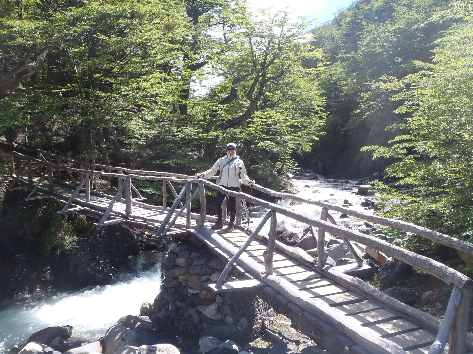
We followed the lovely glacial melt water back down to the Refugio. Apparently all of the water in the park is safe to drink directly from streams (I packed my water filter all this way for nothing?).

I thought this small cascade among ivy and flowers looked perfect for my next bottle of drinking water, so I filled up.
After our first big day, we dove into our sandwiches, instant soup and after-dinner tea, had a great chat with Oliver and Roz (from England, also on a world tour) and then a good sleep in the refugio bunks. A great first day with lots of wind and clouds, no rain, and some great views.
No comments:
Post a Comment